Your terrain API to reliably retrieve the slope and direction of a field and render a snippet of the underlying srtm heightmap using different methods.
About
This service provides simple API endpoints for accessing
tile data and calculating field slopes.
The API is designed to be lightweight and easy to integrate.
No client library is required.
Retrieve a rectangular window of terrain data using geographic coordinates.
The requested area is defined by a longitude and latitude bounding box.
The response format can be selected using the format parameter.
A maximum window size is enforced to ensure efficient responses.
GET /api/terrain/window
Example request
GET /api/terrain/window?
    min_lon=8.50&
    min_lat=52.00&
    max_lon=8.60&
    max_lat=52.10&
    format=shaded_contours&
    token=YOUR_API_KEY
Coordinates are specified as decimal degrees using the WGS84 coordinate system.
The format parameter specifies the output representation and can be one of:
raw - raw elevation data
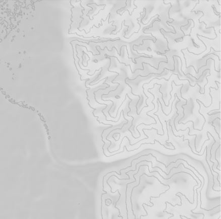
shaded_contours - shaded terrain visualization with contour information
colormap - elevation data rendered using a color gradient
The requested window must not exceed the maximum supported size.
Example response
The endpoint returns an image representation of the requested terrain window.
Tile API
Retrieve tile information using geographic coordinates.
GET /api/tiles/shaded_contour/
Example request
GET /api/tiles/shaded_contour/tile?x=10&y=20&z=5&token=YOUR_API_KEY
Example response
The endpoint returns a JPG image.
Field Slope API
Retrieve slope information for a geographic location.
GET /api/point_slope
Example request
GET /api/point_slope?
    longitude=8.5510&
    latitude=52.0302&
    token=YOUR_API_KEY